
We were staying at the Elm's Motel in Bishop. It is off the main street and next to a park, very quiet but a bit dated. Each day we would partake of the Spartan continental breakfast early and get a good start on the day's hike. The first pass would be the hardest, Bishop Pass. It usually is a menage of hikers, climbers, fisher folk and others that resist easy classification. The late November uncertain and colder weather thins out the crowd, so it was a perfect clear day which provided the stage for our adventure. At the parking lot the temperature was 30 degrees and we were the only car in the lot. I was thinking that maybe the locals knew something we didn't, but we packed up and headed up the trail.

View from tarn towards Bishop Pass
South Lake is full, whereas last year the water didn't even reach the dam. It was a great water year for the Sierra. As we hiked in the shadows it was cold, but felt perfect in the early morning sun. It feels so good to be doing something with Kathy that we both enjoy. She has been on an extreme child care schedule, rising at 4 am and getting home at 7 pm. Tyler's mother is visiting this week and so we are free! There are no people ahead of us and I am starting to get acclimated to the altitude and beauty.
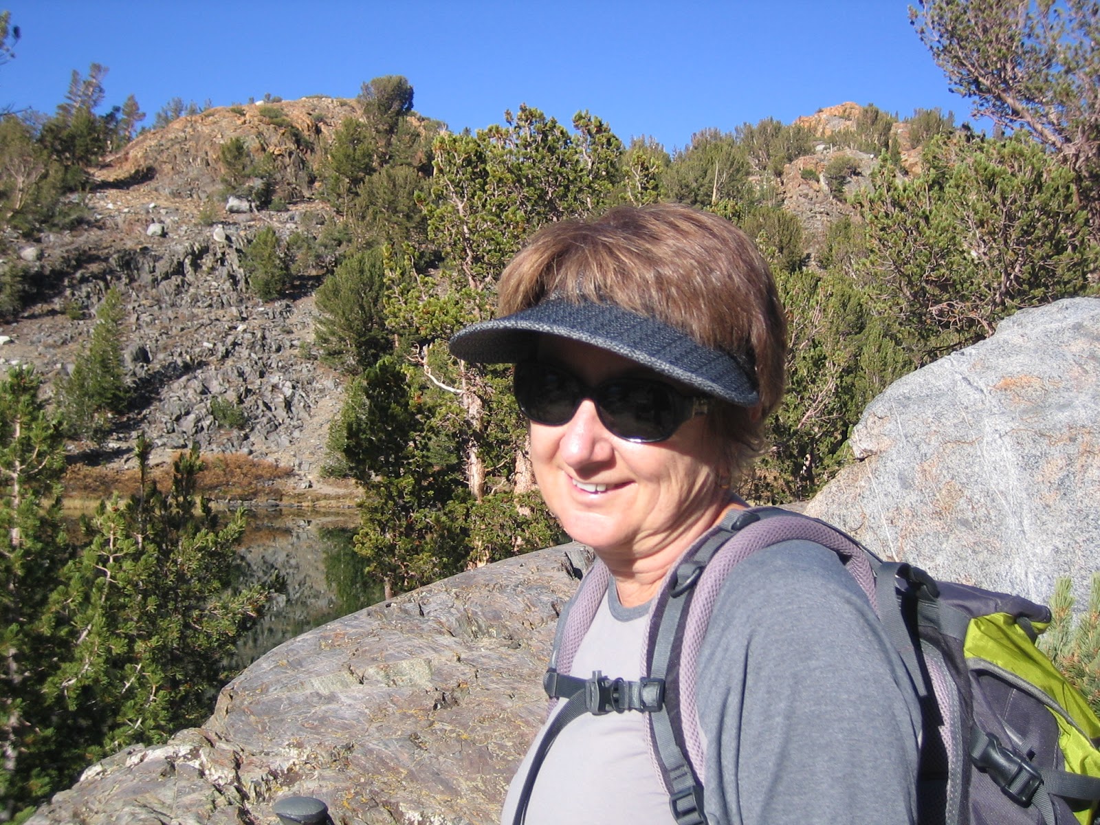
My favorite hiking companion
There are a lot of "step up" rocks on the Bishop Pass trail. With a full snow load, route finding is an issue. Today, there are patches of snow, but mostly the trail is bare. The cool weather allows us to make good time and Kathy is very fast and strong. At about 10,500 feet, I am starting to get stronger. In years past, things were different. Like many other facets of life, looking too much in the rear view doesn't help.

Long Lake toward Bishop Pass

Looking back toward South Lake
At about the four hour mark it was obvious that the summit block had snow. The trail has been expertly laid out and somehow the drifts never quite cover the short switchbacks that make the difference between easy hiking and something more serious. There is plenty of exposure and with careful footwork the patches of ice can be avoided. It's windy going up the head wall, so we stop in a protected place to eat lunch. It turns out it was less windy on top at the pass, where there were a couple of snow fields to be negotiated. After the obligatory summit photos, we head back down. The views are very spectacular on the way down and we are very happy with having made the hardest pass on the first day.

Kathy almost at Bishop Pass
We remind each other to be careful on the down steps, as we haven't seen anyone on the trail and a turned ankle or some other lack of concentration would be a bad thing. Cell phones don't work up here and so you can't call your way out of a mistake. At the eight hour point we have made it back to the car without having seen anyone else on the hike. What a gift and adventure.
It's nice getting back to a motel room with a nice heater. Also, in a change of season trip the extra room from our bare bones trailer is much appreciated. We have room to keep the packs pretty much out of the way and ready to go for the next day. It's also a treat to get some Pollo Loco salads for dinner and enjoy some wine while talking back to the TV news.

Our second hike is an easy one to Morgan Pass. It is in the Rock Creek Canyon, also known as Little Lakes Valley. The parking lot is at 10,000 feet and the trail roughly follows the series of lakes that lead up the top lake (Chickenfoot) and then to the pass. Because the trail has numerous water crossing, it is a big help to have most of it free of snow. The parking lot was again 30 degrees, but the trail can feel colder because of the proximity of water.

At Long Lake with Morgan Pass off to left of frame
I had bought some Bandini gloves, made for the cold Laguna mountain bike rides. I saw that Kathy had some lighter weight gloves, so decided to man up and use a similar pair. Within twenty minutes this decision seemed foolish as my hands were aching. Note to self: Kathy is 15 years younger and has better circulation in the extremities. Next time, be smarter about taking the right gloves. Being in the Sierra above 10,000 feet slows down the efficiency of the central nervous system and one needs to deal with the reality rather than how you feel things should be.

Looking back toward Little Lakes Valley almost to Morgan Pass
Once we get out of the shade and the sun starts to creep above the mountain scarp, we start taking off layers and enjoying the fantastic views. Because we didn't get in a Sierra backpack this year, it is great to be making good time and not really having any significant issues. We have microspikes in the pack, but after yesterday I don't think that they are going to be necessary. The patches of ice are small and by good footwork can be avoided. Little Lakes Valley is a hike that anyone can enjoy with reasonable care because the trail is obvious when not covered in snow and the elevation gain is very gradual. Consequently, it is one of the most used areas in the Southern Sierra.

Mount Morgan from the pass
Morgan Pass is free of snow and we enjoy a nice lunch there. The down hike is much easier and faster than Bishop Pass because there is more of a gradual descent and less rock steps. This is a great cross country ski basin and they have a California Snow Park area at the bottom of the steep hill that leads up to Mosquito Flats, where our truck was parked. This means that with a $30 yearly pass, you are assured of a plowed road to that point. When there is no snow, you don't need a pass. It is more dangerous in the spring, when the solid winter pack starts to degrade and you can break through into a stream or lake. In the winter, you should check the avalanche forecast as in certain places the sides of the canyon are quite steep. The Rock Creek Winter Lodge is a few miles below Mosquito Flats and offers rustic cabins and great food.
Kathy's toes are starting to get a little worse for wear, but we want to do Mono Pass. The ranger didn't know the present conditions, but we can always turn back if things look dicey. I did Mono with a full snow load with my brother Marty on skis, but that was almost a lifetime ago. There is some beautiful above timberline scenery and looking forward to this adventure which is probably in between Bishop and Morgan Pass in difficulty.

Kathy looking toward Morgan Pass from Mono trail

Above Ruby Lake on Mono Pass trail

Mono Pass
Finally, we get into the summit canyon and begin to pick our way through steep rock and giant boulders. It's a fun hike and we haven't had to deal with any snow or ice to this point. It looks like there will be some snow to negotiate at the pass proper, but even this is not necessary as there are many paths to the side of the blockage. No question we are at altitude as the place looks like a scene from some SF movie. As we get a little beyond the pass, Summit Lake comes into view. We decide to save looking down Pioneer Basin (which leads to the John Muir Trail) for our hike next year. On the way down the views are even better. It has been a great day.

Summit Lake above the pass

Kathy headed back to the truck

Trail to the "Sky Rock", Mt Tom in background
I see some tracks and get within a few yards of the site, where I can see the moons of the composition. Not good form to get anywhere on the "canvas" as too much love has desecrated many of these sites. Kathy has found the rock on her own and we find a way for her to get to my point safely. What a rush! This whole week has been a coming together again and I am so happy to be sharing this experience with Kathy.

Sky Rock

So happy you wrote this! Vicariously enjoying your hike via your wonderful stories.
ReplyDelete